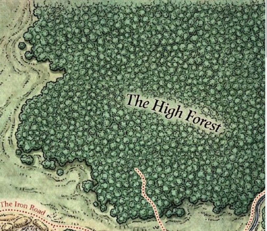
Of course, all this can be written out on the side, but without a map indicating which parts are which, the big green adventurous forest is somewhat, well, grey.

Consider the opportunities available when assigning globs of hills and forests to your game map. Notice how the Dessarin Hills have little, smaller blobs of hills, like satellites attached to the main body. The Faerun map above does the same, with drips and drops of forest around the main body, like patches of spilled paint. These single hills, or hill-glops, are much more interesting than the main body of hills, since they suggest isolation. They are perhaps inhabited by singular groups small enough for a party to handle, or they represent differently thinking peoples separated from the main tribe. Humans like bite-sized pieces. It helps to produce maps that give this.
So. What is the difference between these two groups of hills?

If you said there are many more on the left, congratulations, you're very smart. Nonetheless, the point is that there are more hills on the left ... because those are "foothills," clustered against a row of mountains, while the hills on the right are surrounded by a grassy, well-watered plain. In both cases, let me explain that the distribution of hills is not random. Oh, there's a certain arbitrary attitude I have about plopping in one hill after another, but I'm also conscious that I'm representing certain kinds of topography with each symbol I place.
The hills on the left are south and east of the Transylvanian Alps ... which are being formed by the steady northward movement of the north African techtonic plate. These same Alps have been shaped by various Ice Ages over the last million years. The area has a pattern of general uplift complimented by cutting and shaping of huge mile-high sheets of ice, advancing and retreating.
The hills on the right are found on the boundary between Romanian Moldavia and independent Moldova; they, too, were formed by glacier, but in their case they represent till left behind after the last glacier retreated. They're not very high and they're generally not made of rock ... but rather piled up soil, sand and gravel. Thus, while the hills on the left are empty of settlers, the hills on the right support shepherds and small-plot vegetable farmers.

Therefore, by choosing how far apart those symbols are placed or how they're joined, we can invent a more interesting map. Notice how on some maps, the hills are placed so they actually touch one another ... but on this last map, every hill is isolated. There are two hills near Chirca on this last map that are nearly touching. It's easy to imagine that both hills form a single small biosphere ... unlike the two hills near Hirbovat, which are clearly independent hills.
The larger globs of the foothills above, and on the left, are sometimes clustered in groups of three and four. We may surmise that while the hills around Chirca can be easily traversed, these thicker patches of hills are a real obstacle. Thus to convey a part of the world where travel is difficult and harsh, I need merely pack the hills in tighter. Or use more elaborate hill-symbols to indicate higher hills or those that are more craggy. Since I'm drawing the images myself, this is no problem.
Space matters. In making your game map, be aware of the space on the map and how you're using it. The larger map of Romania and surrounding environs I've been making is a series of connected hill groupings, with areas where the hills thin and thicken. The real world isn't like the sharp dividing lines of most fantasy maps, where the hills clearly end next to plains like an existing property line, or where the mountains come to a halt here, and no farther. Vegetation grows denser or it thins. Hills pack tightly together or they get scattered. Mountains right next to each other don't look the same, because the last Ice Age bore through inconsistently. This mountain here may be 8,000 ft. high; but the one next to it might be only 4,000. This mountain may form a four-sided spike, but the next one over might be a pile of four rounded mountains knotted together. Plains are broken all over by hills, deep valleys, large depressions, patches of semi-desert. Don't make every mountain, hill, tree and grassland on your maps a single "type." Each type of terrain ought to bleed together, slowly, over hundreds of kilometers in some cases.
It makes the map more interesting.
One to stew on. This is the hard part of the game: choosing to learn more than theater tricks and literary beats to make a "fun story" and actually put together something that is a coherent place.
ReplyDeleteExcellent advice though.
perhaps .... the more coherent a place one constructs the fewer parlor tricks are needed?
ReplyDeleteI'm unclear on what's being defined as a parlour trick, Escritoire.
ReplyDeleteYou know, it feels weird sometimes to keep calling you "desk." What sort of appellation would you prefer, sir?
Bob works fine.
ReplyDeleteI guess by parlor tricks I'm referring to the showmanship exhibited, touted and oft times emulated by DM's as presented in the dominant media culture, be it YouTube or other streaming service. I feel that many of those practitioners, while well intentioned, are selling the sizzle and not the steak. This is fine if it's a good steak otherwise and the sizzle is being sold to differentiate among other good cut of meat. But it seems to me the sizzle (oft produced by slipping a pat of butter onto a hot serving plate) in many cases is used to cover for a lower quality base product.
Back in my HS days I proudly wore a shirt that said "If you can't dazzle them with brilliance, baffle them with bull."
Amen to that.
ReplyDelete