 |
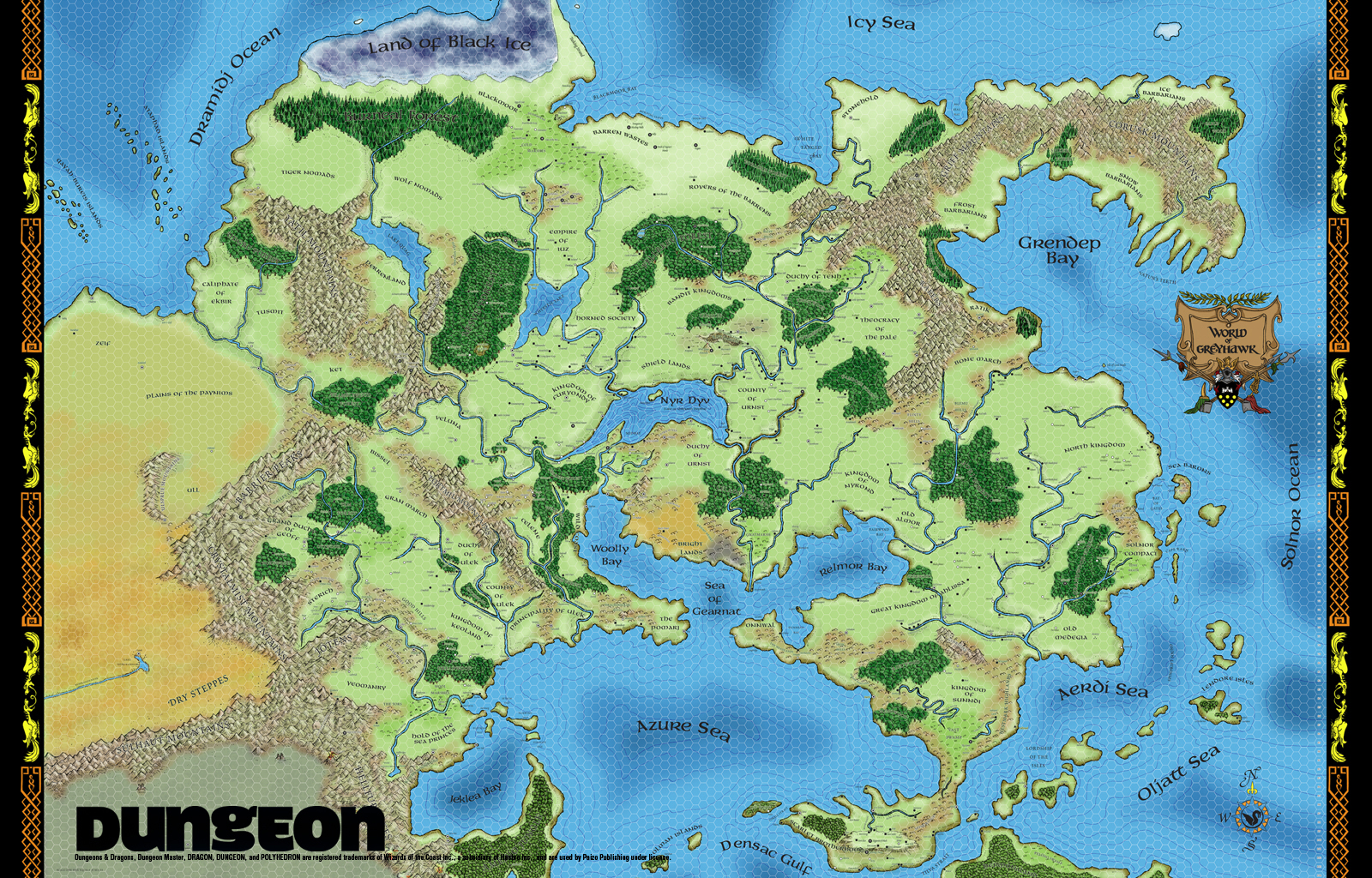
| Blue area indicates portion of the world that has been mapped with 20-mile hexes. |
The above represents about 10 years work. I began the present mapping scheme sometime in Oct-Nov 2005, after about a year of tweaking and information gathering. Time was then wasted with formatting problems and then program changes (Publisher 2005 to Publisher 2010), so that much of the above was redrawn three times.
In the last 18 months I've added Spain, much of North Africa, Burma and - of late - Paraguay. I have the method fairly hammered down now, so that I can add areas much more quickly. As well, since most of Europe is done, the rest of the world is much less intense and complicated. I have only three difficult areas left: China, Japan and the British Isles.
This past week, I've been updating my Cities list to reflect recently added areas (note, Paraguay isn't included, as that area is not part of the united system). Even though there are large parts of the world I haven't done, I have enough information to play with it a bit. The following, take note, only applies to regions under political control, limited to what I've mapped. Also, I haven't done work to determine how much empty sea I've mapped or how much empty desert region. That can wait, as I have a new project in mind.
First, however, some statistics:
Total Area: 33,459.3 hexes. Each 20 mile hex is 346.41 sq.mi. in area, according to this calculator (measured along the d2 axis). This tells me my civilized world equals 11,590,636 square miles, or a little more than 1/5th of the world's land surface. In comparison, Greyhawk is a very respectable 16,700 hexes.
Total Population: 234,391,087. I that seems a bit high, then I would point out that my world does take place later than the usual medieval period, in the year 1650. Of course the number is the result of an algorithm based on the present size of cities measured against their age since being founded (in other words, a made up number).
Number of Independent Political Entities: 145. This includes all the empires, kingdoms, duchies, principalities and so on. The Holy Roman Empire is counted as one entity - though that includes 102 sub-entities, that in turn have sub-entities of their own.
Largest Independent Entity. By area: The Empire of the Ottomans, 4,774.8 hexes. By population: The Moghul Empire, 69,321,795.
Smallest Independent Entity. By area: There are a number of independent free cities, all of which are counted as 1/10th of a hex - but the one with the smallest population is Obernai, a free city in Alsace (western France). Obernai is also the smallest independent entity in terms of population.
Number of Subdivisions, including independent entities that have no subdivisions: 1,018.
Largest Subdivision. By area: Samoyadia, a gnoll-occupied region in north central Siberia, 730.7 hexes. It corresponds to modern day Taymyr. By population: Hindustan, in the Moghul Empire, 14,144,861. That population is considerably higher today.
Smallest Subdivision. By area: again, it is still Obernai. By population: Zyria, part of the Ogreish khanate of Bulgrastan, 958. Zyria is a part of the modern day Perm Krai.
Total average population density: 7,005 per hex.
It is in this last detail that I think I have something interesting to play with as regards my world.
At the moment, I tend to think while running in three conditions of 'civilization': virtually none, backwards and advanced. There are obviously more degrees than those, but in the moment of describing some peoples or environment, I tend to default to those. What I really need is an established framework that breaks down regions technologically, so that I have a clear and established idea of the level of political interaction, military force and economic development - and to have this provide details that the players will care about: i.e, housing, available resources, services, purchasable goods, etcetera.
I think I can base a structure for these things from the population densities of the various regions in my world. I'd like to hinge such a structure to the intelligence of monsters, so that I can determine the 'tech level' of more than just the civilized entities above, but to all communal entities in my world, relating their intelligence to the tools they'll be using.
As such, the lowest tech level will be five, not one - because the least intelligence that will allow a complex social structure is five (the lowest number listed as 'low' intelligence). Tech levels will therefore reach from 5 to 25 (though of course anything higher than 18 would be reserved for other planes of existence).
I mean to write a series of posts that will break down this technological structure down into useful details, one technology at a time. This series will not describe the final arbitration of said structure - I expect that changes will have to be made as I move forward, as I can't be absolutely sure what developments should apply to what specific tech levels. For example, is 'agriculture' properly tech 5 (nearly stone age) or tech 6?
I won't be basing this tech level system on historical development, for one simple reason: all these technology levels must exist simultaneously in the same world, adjacent to one another. Therefore, it must be noted that while one part of France, say, may be backward and less developed than another, the key to telling the difference isn't in what is known to the people (that is, invented) but in terms of what is available. "Yes, we know what a crossbow is; but there are no crossbows around here, or anyone who knows how to use one or fix one."
That is the goal. Wish me luck.
THIS is awesome.
ReplyDeleteIs a tech level a product of the average intelligence of the populace? Or a product of the density? Or simply based on the smartest folks who exist in a given area? Or historical development of a region/area?
Also curious: why the difficulty with the British Isles? I would think it is a relatively small area, and that there would be plenty of references (in English) to work from.
Ah, Britain. I started with Russia and I've been moving in a steadily widening circle. Britain and Iceland are the last edges of Europe from where I started. It isn't that I can't do it, it just happens to be last.
ReplyDeleteIt will be a question of too MUCH info; each city will be a lot to wade through as I research their backgrounds. But I do intend to do Britain when I begin mapping again.
I think when you see the first post about technology, you'll have a better answer to your questions, JB.
Thanks...looking forward to it.
ReplyDelete: )
Normally a lurker, but i check the site pretty much every day.
ReplyDeleteLooking forward to how you approach this.